
Reading Whitsunday Islands weather before an island trip
Whitsunday Islands weather matters at more than one scale. Monthly temperatures and rainfall help you compare dates, while a current forecast and warnings guide a particular boat departure, flight or camping stay. Keep those jobs separate: a climate table describes a long record, not what will happen on the day you reach an island.
The figures here come from the Bureau of Meteorology station Hamilton Island Airport, number 033106. They describe conditions at that station rather than a forecast for every bay. Use them alongside your planned sailing trip or island stay, then consider the actual exposure and transport involved. For choosing dates by activity rather than reading the statistics, use the best time to visit guide.
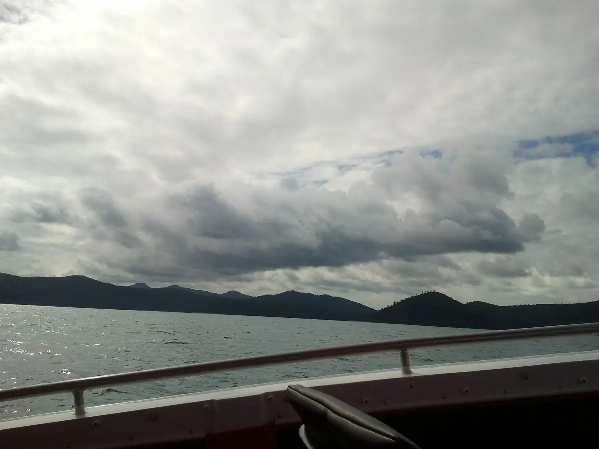
Monthly temperatures and rainfall at Hamilton Island Airport
The table gives mean daily maximum and minimum temperatures, followed by mean monthly rainfall. Maximum and minimum here are averages of daily highs and lows, not temperature records. The period is 2002 to 2026, explicitly not the 1991 to 2020 climate normal period. BOM expresses the temperature and rainfall coverage as data equivalents; these should not be read as a promise of complete calendar years throughout.
Keep the station and period attached to the figures when comparing another destination. An older Hamilton Island station uses a different temperature record, so combining its values with this table would change the basis of the comparison. A station average is most useful when treated consistently, without turning it into an island-wide weather guarantee.
| Month | Mean daily maximum °C | Mean daily minimum °C | Mean rainfall mm |
|---|---|---|---|
| January | 29.9 | 24.9 | 297.6 |
| February | 29.6 | 24.8 | 293.3 |
| March | 28.8 | 24.5 | 231.2 |
| April | 27.0 | 22.9 | 154.6 |
| May | 24.3 | 20.7 | 95.4 |
| June | 22.3 | 18.9 | 56.9 |
| July | 21.6 | 18.1 | 51.4 |
| August | 22.8 | 18.5 | 26.4 |
| September | 25.2 | 20.2 | 24.6 |
| October | 27.4 | 22.1 | 26.6 |
| November | 28.8 | 23.5 | 74.5 |
| December | 29.9 | 24.6 | 157.4 |
Scenic flight option
The scenic flight offers an aerial view when weather conditions allow.
Hand-picked tours, booked through GetYourGuide. Prices are indicative starting prices in Australian dollars (as of October 2026). Tap a tour for live availability and the current price in your currency.
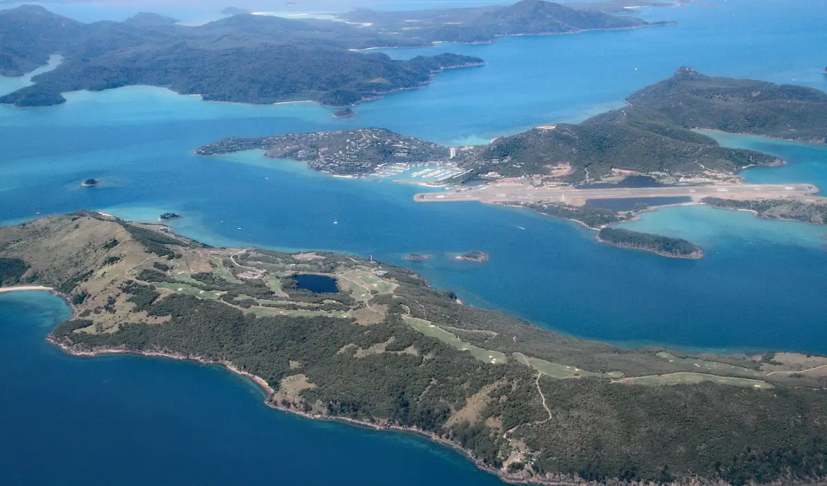
A scenic overflight in suitable weather
See the islands and reef from above with a window seat and pilot commentary; the flight includes no landing.
What the rainfall pattern means
In this record, August to October are substantially drier than January to March. July has the lowest mean daily maximum, while January and December have the highest. These are broad patterns that can shape what you pack and how much outdoor time you hope to plan. They do not tell you which afternoon will be wet or how long an individual shower will last.
Mean monthly rainfall is not a timetable of rainy days. Nor does a lower value establish clear snorkelling visibility or a smooth crossing. If your visit includes camping, think about supplies and possible transport delays alongside the climate pattern. For water activities, the conditions at the selected site matter more than a comparison between two monthly rainfall totals.
Wind, tides and the sea forecast
Wind and tide conditions need their own assessment before you travel. QPWS notes that smaller tides and calm seas improve snorkelling conditions, while tidal currents can increase rapidly. A photograph of flat water or a low-rainfall month is not a passage forecast. Keep the boat itinerary responsive to current conditions rather than insisting on a particular bay because it looked sheltered in a picture.
Safety guidance as of 5 November 2026 identifies year-round risks from marine stingers, sharks, crocodiles and tidal currents. National park waters have no lifeguards. Full-body protective clothing is recommended, but it does not eliminate stinger risk. Do not swim in Cid Harbour. Read the snorkelling guidance before choosing water activities, and carry water and sun protection even when the sky looks cloudy.
Warnings before boats and camping
The official tropical cyclone season is November to April, with rare events outside it. Check current BOM warnings before travelling by boat or camping. Keep time and supply reserves for changes rather than assuming a booked date means suitable conditions. For remote island plans, give your route to a reliable contact and prepare appropriate emergency communication, because mobile coverage is unreliable.
Weather warnings and park access notices answer different questions. A favourable forecast does not cancel a site restriction, and an open park does not establish a safe sea crossing. The full Ngaro Track has an April to October booking season, with extreme-weather closures possible. Consider those access arrangements separately from the monthly temperatures when planning a longer walk.
Scenic flights when conditions allow
The flight option here offers an aerial perspective, with a window seat, pilot commentary and hotel pickup and drop-off. It is an overflight without a landing. Weather and visibility remain part of the operating decision, so do not reserve it in your mind as an all-weather replacement for a cancelled boat trip.
For the flight theme, see Heart Reef flights and outer reef trips. Keep the day’s forecast and your mainland transfers together in the plan. A particular reef view depends on the conditions during your flight, and the overflight should be treated as its own weather-dependent experience rather than transport to an island beach.
Frequently asked questions
Are these the 1991 to 2020 climate normals?
The table uses Hamilton Island Airport station 033106 for 2002 to 2026, as published in the BOM table created on 31 October 2026. It is not the 1991 to 2020 normal period.
Does a drier month mean calm water?
Rainfall averages do not establish wind strength, tide currents or safe passages. Use current sea forecasts and local advice for the actual trip.
Can a scenic flight replace a boat trip in bad weather?
The scenic flight is itself weather-dependent. Treat it as an option for suitable conditions, with no promised landing or guaranteed visibility.